A Visual Study of Arizona's Container Wall
The agreement between Arizona and the federal government to remove the container wall was signed just days after I visited the monstrosity for myself.
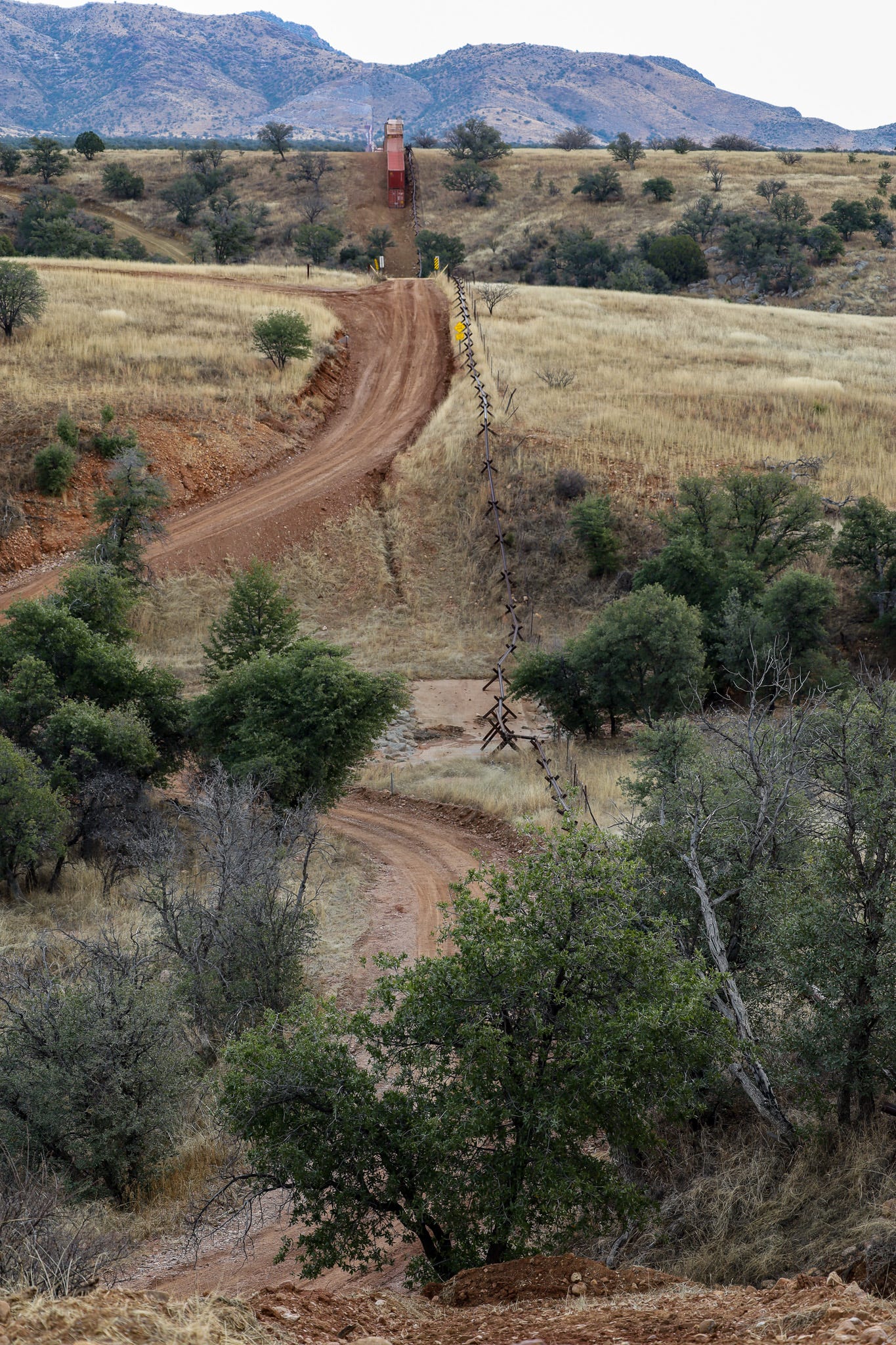
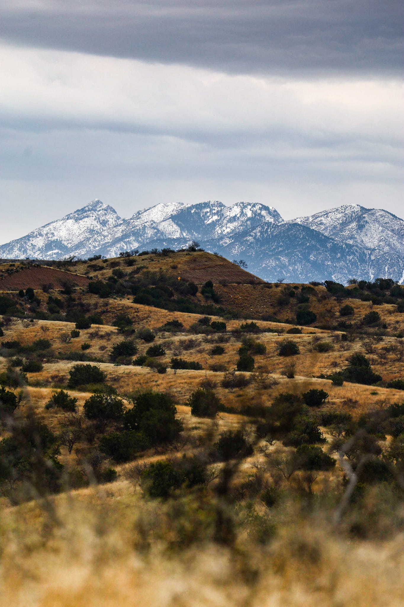
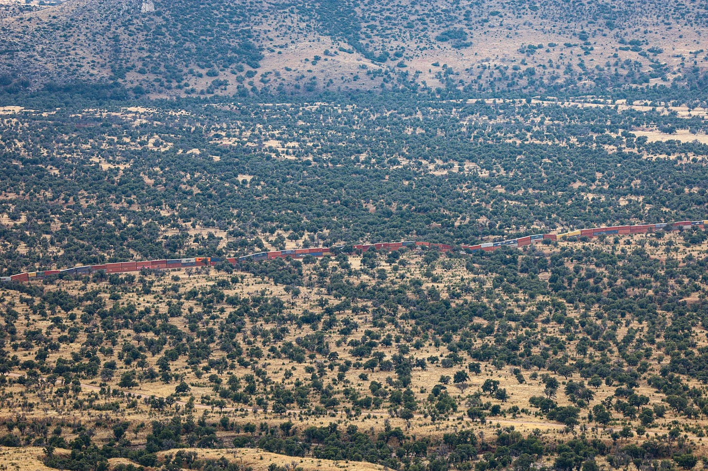
My first glimpse of the snaking border wall of shipping containers that trudged hideously over the otherwise stunning southern Arizona landscape came as I rounded my last turn in the dirt road through the mountains leading from Sonoita to the Montezuma Pass.
I was nervous. I had left Sonoita with half a tank of gas, unaware of how rugged and how long the drive would be to the campsite where activists had sustained an ongoing protest against the wall for days. I had begun to wonder whether I would run out of gas, whether my phone’s reception (and therefore my directions) would cut out before I arrived,1 and whether I should have stayed in Tucson on my last day of research to finish some outstanding work there.
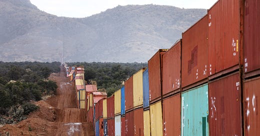
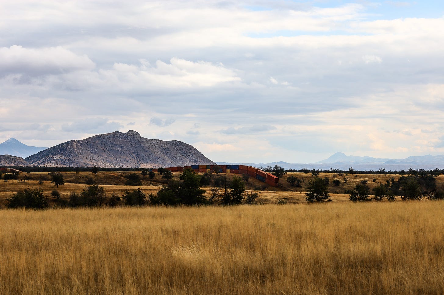
As the first containers appeared through the trees, any doubt I had about the value of the trip dissipated. The boxy containers appeared absurd in an undulating landscape devoid of straight lines, more representative of a brutalist art installation or a prank than a serious geopolitical project. (Aren’t all borders, in some senses, disruptive art installations? Or brutal pranks on human mobility?)
The container wall was created by Republican Governor Ducey of Arizona. Ducey, I learned later, made his money running Cold Stone Creamery, a chain of ice cream stores that the oldest of my sisters, Savannah, worked at for her first job. Ducey announced the wall before the November election. After serving two consecutive terms as governor of Arizona, Ducey himself was not eligible to run for governor, but that didn’t stop him from participating in the performative politics of immigration enforcement and border wall construction. (Ryan Devereaux’s reporting for the Intercept, which I link to throughout this post, has been excellent.)
I drove down on this particular day because an event had been organized by activists who had been camping out on the land and interfering with the construction of the border wall. I hoped that with a larger group there, I might be able to talk to some people about their perceptions of the wall while also having a look around. Now that Arizona has agreed to remove the border wall (a consequence of the federal government suing the state), this container wall will soon cease to exist.
I’m not going to go in-depth because this post would run too long. For now, I just want to share a few of the photos from that trip so that you can feel something of what it was like to stand in front of a border wall made of shipping containers.
To me, standing in front of the container wall that day, the wall illustrates the connections between globalization and borders, illustrates the ways in which borders themselves can be mobile (put up and taken down in mere weeks), and the ongoing contentious politics over who has a right to engage in the production of physical border walls. I would be curious to know what stands out to you, too.


You can see a video I took of the container wall on Mastodon here or on Twitter.

Map of Container Wall
It was difficult for me to place the container wall before visiting it because it doesn’t lend itself to easily locating it on a map. Unless, that is, someone sends you the latitude and longitude coordinates, but even then, it’s not as simple as getting directions in Google maps. I drove to the wall the old-fashioned way: following turn-by-turn directions texted to me on WhatsApp. Now that I’ve visited the wall, however, I feel more comfortable showing it on a (simplistic) map.

After I made these maps, I found an interactive one online here created and updated by Myles Traphagen in a post by Melissa del Bosque for the Border Chronicle (which I highly recommend subscribing to).
Russ McSpadden has been rigorously documenting the dismantling of the container wall on Twitter, so give him a follow on Twitter to stay up to date.

Support public scholarship.
Thank you for reading. If you would like to support public scholarship and receive this newsletter in your inbox, click below to subscribe for free. And if you find this information useful, consider sharing it online or with friends and colleagues.
I was surprised to find that the Sonoita Welcome Center had absolutely no maps of the state or of the region.







Austin, thank you for visiting and for documenting. Your photos are first-rate, too!
Thank you for visiting and writing your impressions of Ducey's devastating container wall. I organized the protest on Nov 29th and the one you attended on Dec 18th. Sure would have liked to meet you! I have enjoyed following your excellent newsletter. A few of us have been given access from the Forest Service to monitor the container removal. Please follow us on our website, https://www.borderwallresistance.com